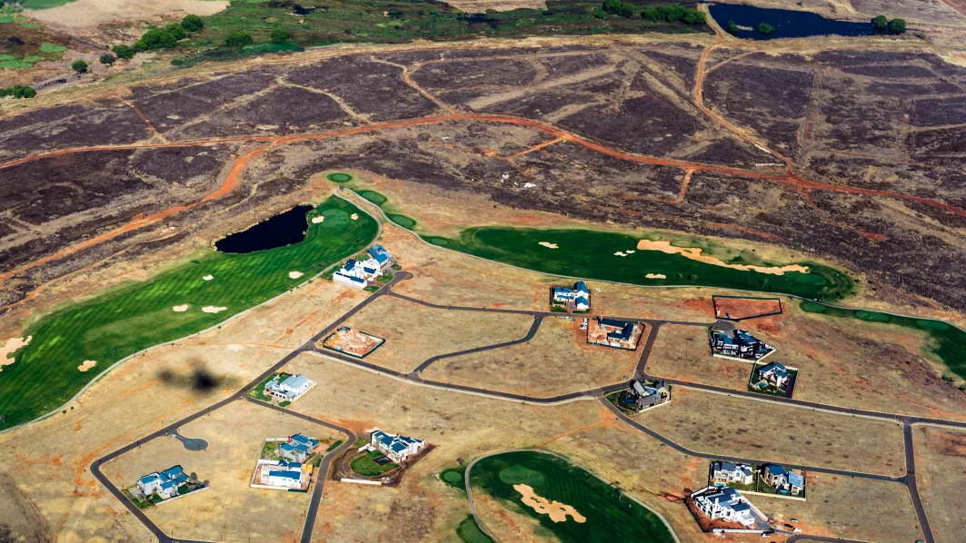
Building a pipeline for generating 3D models using satellite imagery by means of photogrammetry and machine learning. The pipeline applies advanced algorithms like S2P, which is an open-source software for structure from motion that is specifically designed for satellite imagery data. By using satellite imagery data, more accurate 3D models can be obtained and refined. The process involves taking multiple images of the same area from different angles and positions, with the help of a satellite.